How to get to Magalang
Magalang is 11 km from Angeles and 92 km from Manila, reached by the Magalang-Angeles and Magalang-Mabalacat roads.
✓ Reviewed by our editors✓ Official source
Discover Pampanga Editors · October 2026
Magalang sits on the north-western slope of Mount Arayat in northern Pampanga, bordered by Concepcion (Tarlac), Cabiao (Nueva Ecija), Arayat, Mexico and Mabalacat.
Distances
- About 11 km from Angeles.
- About 28 km north of San Fernando.
- About 92 km north of Manila.
By car
The expressways do not reach Magalang directly. Leave SCTEX or NLEX at Angeles or Mabalacat, then take the Magalang-Angeles Road or the Magalang-Mabalacat Road. Other links are the Magalang-Arayat-Santa Ana road and the Magalang-Concepcion road (Ninoy Aquino Highway). Don Luis Dizon Drive, the PAC road, connects the poblacion with the PSAU campus.
What to plan around
- Holy Week: pilgrims crowd the Banal a Bunduk Way of the Cross.
- August: the Camaru Festival.
- December: the Lubenas ning Pasku lantern processions.
Also in: Travel Guides, Getting Around
Spotted something out of date? Suggest a correction.
More in Magalang
Travel Guides
Where to stay in Magalang
Magalang's farm resorts at the foot of Mount Arayat, from Abe's Farm to smaller family-reunion spots.
Travel Guides
Magalang pasalubong: pastillas and tamarind
What to take home from Magalang: pastillas de leche, tamarind candies and shakes, and PSAU's tamarind products.
Things to do nearby
Attractions
Pampanga State Agricultural University, Magalang
Historic agricultural university founded as La Granja Modelo de Magalang in 1885, known for its Aglibut sweet tamarind.
 © Louiealdrin on Wikimedia Commons · CC BY-SA
Attractions
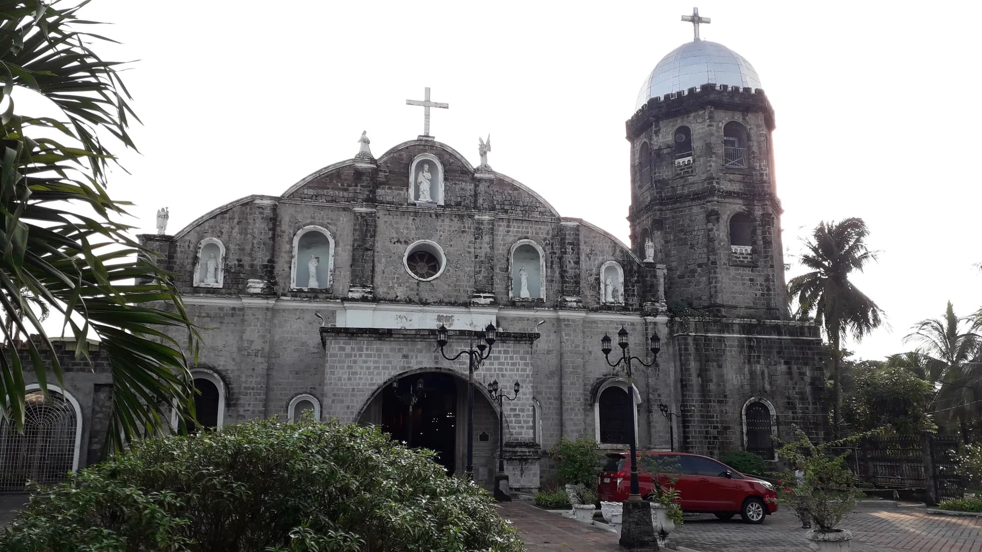
San Bartolome Parish Church, Magalang
Magalang's parish of Saint Bartholomew, moved to the present town in 1863 after the Parua River swept away the old settlement.
Attractions
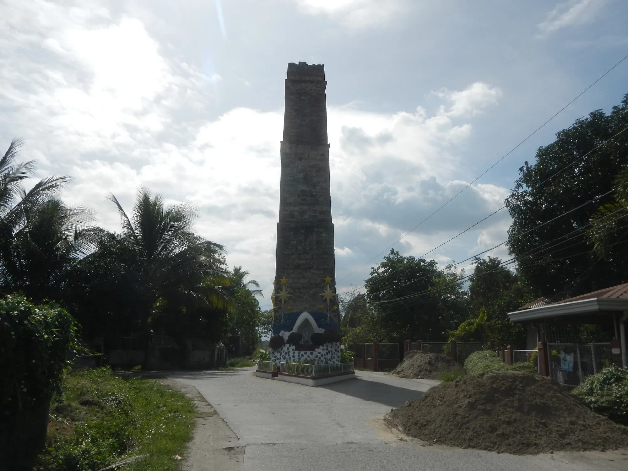
Magalang heliograph towers
Two Spanish-era signal towers from 1863 in Santa Cruz and San Isidro, regarded as important cultural properties.
Where to eat nearby
Bakeries
Carreon's Sweets and Pastries
Magalang sweets shop known for pastillas de leche, the town's classic pasalubong.